 Wayanad
 The name formed from two words "Vayal(Paddy field)" and "Nadu(Land)". The place situated at North East of Kerala State with altitudes ranging from 700 to 2100 m.It lies in the Nilgiri Biosphere and sharing the border with "Tamilnadu"and "Karnataka" states, especially Bandipur", "Muthumala" and "Nagarhole" National Parks.


 History
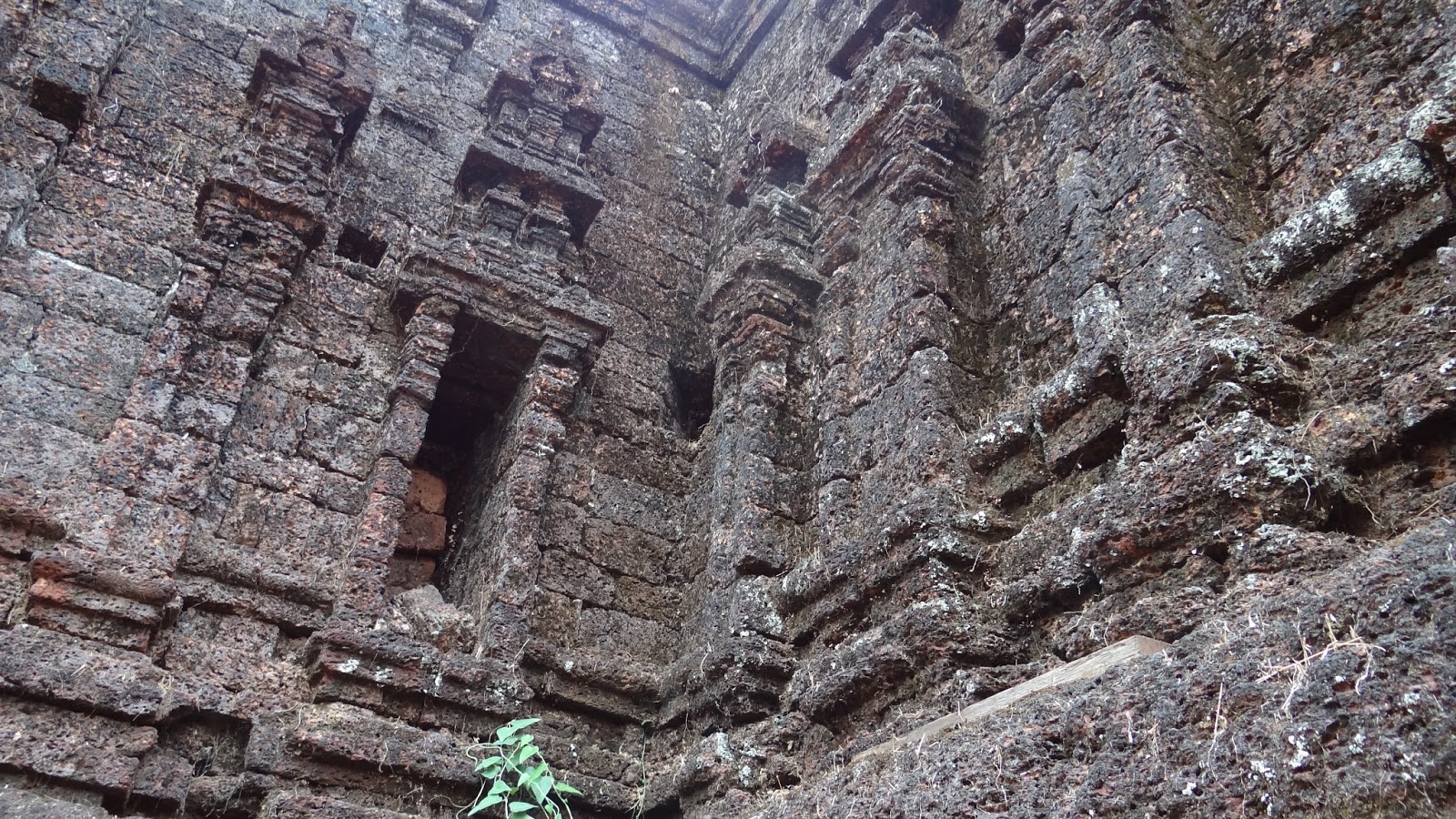
 The land was ruled by the Rajas of the Veda dynasty. In later days, Wayanad came under the rule of the PazhassiRaja dynasty of ancient Kottayam. When Hyder Ali became the ruler of Mysore, he invaded Wayanad and brought it under his sway. In the days of Tipu Sultan, Wayanad was restored to the Kottayam royal dynasty. But Tipu handed over the entire region of northern Kerala to the British, signing the treaty of Srirangapatna with British army officer and colonial administrator Cornwallis. This district came into being on November 1, 1980 as one the twelve districts of Kerala,consisting of three taluks; Vythiri, Mananthavady, and Sulthan Bathery. District head is Kalpetta.


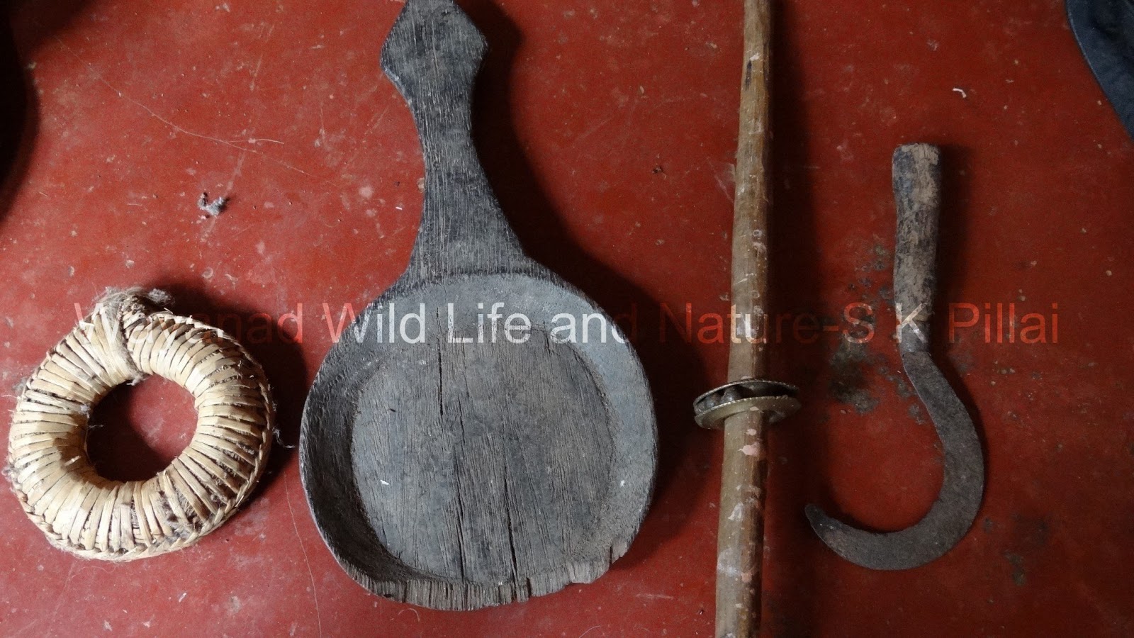


 The real native people of Wayanad are from the groups of 'Chetti, Kurichyar,Paniyar, Naykar, Kurumar'. Nowadays peoples from different places are also living here.


Geography
Wayanad is situated in western ghats. Common geography is mountains in paddy field. We can see here mountains ,forests, waterfalls.the main river is Kabani-one of the east flowing rivers in Kerala. Feel pleasant climate throughout the year.


Agriculture
The main source of the economy. Pepper , Tea, Ginger, Coffee and Paddy are the main crops.
 Tourism
 Nowadays Wayanad is one of the main tourism centers in Kerala. Mountains, rivers, lakes,island, forests, waterfalls, pilgrims, Historical places and national parks are the main attractions.


No comments:
Post a Comment